
|
|
|
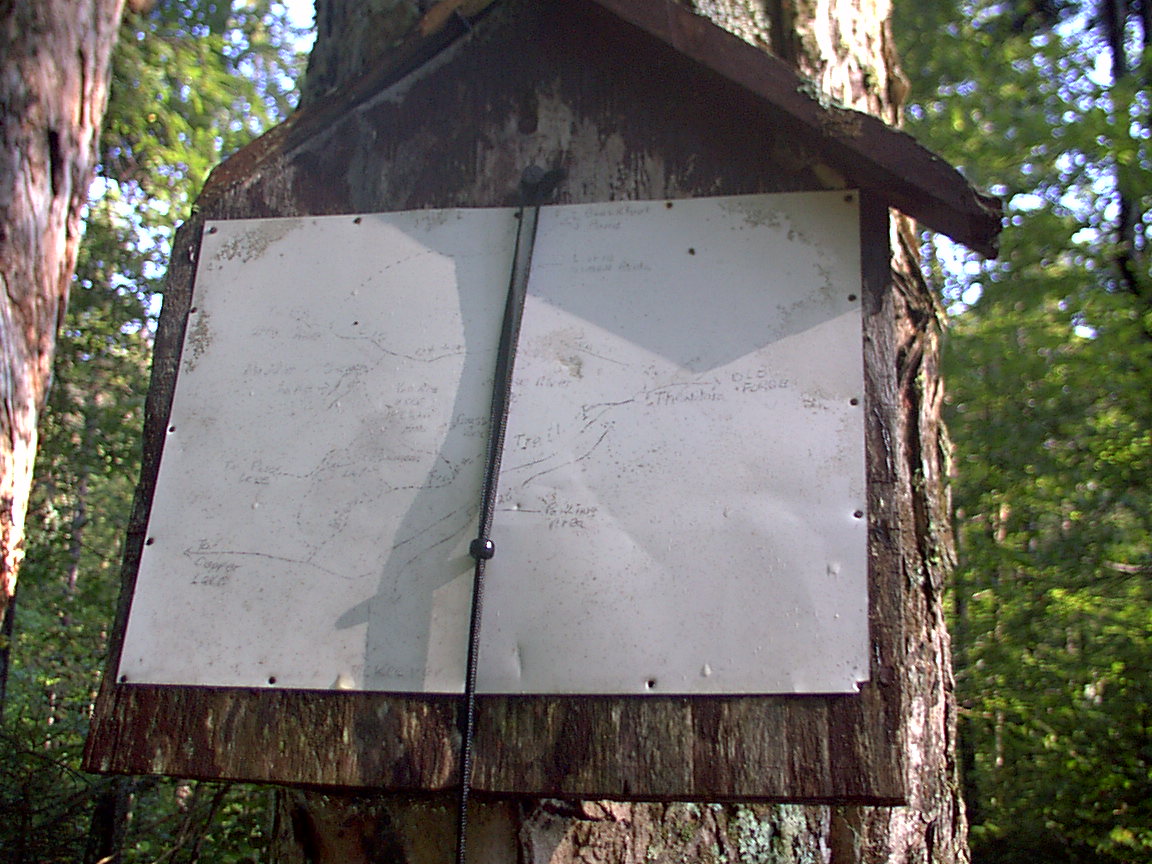
Go back and read about Friday first! At 6:39, two women and two dogs came to the lean-to with some gear, and I was up. It turned out the second couple had a 3rd dog, that was very large. As I hustled to pack up, the dogs were in and out of the water. As I cooked my water for oatmeal, the boys laid out an inflatable raft and pumped it up in the lean-to. While I drank my coffee I went over to say hello to the swimming woman. She had been across the lake again this morning. I sensed a need to relate with someone polite. I wished her well. I hitched up and set out. I was planning to head to Pine Lake lean-to for lunch, and then around toward Big Otter Lake for the night, maybe. I got back onto Trail 72 and headed south. I was having a lot of trouble. My left knee was aching and swollen, and didn't move quickly. I started having second thoughts about going that far. I also started sweating profusely, which I attribute to the heat and humidity. And, I realized I hadn't gotten much rest the night before. After 1.1 miles, at the next junction, with Middle Settlement Lake Trail 73, I stopped, took the photos below, and looked at the map. I decided to take the Cedar Pond Lean-to Trail 74 instead of trail 73. This would bring me 2.2 miles to Brown's Tract Trail 76, which would in turn take me 3.9 miles back to the Thendara trailhead, after which another 0.8 miles I would be back to my car. I decided to bag the big loop for this shorter one.
At the branch to the Okara Lakes trailhead, a boardwalk bridge leads to the trailhead. This is where I took the Brown's Tract trail. This trail is not traveled much and is hard to see in many places. It is marked with yellow discs, but there are long stretches between discs. It helps that the trail follows the border of state land, and the yellow blazes on the trees help you follow the intended path. After skirting the lakes, and coming very close to some homes there, you reach another trailhead which has a register, and is very close to the Okara Road. This is where I was able to re-acquire the GPS signal. From this point to the end of the trail, it is an old jeep trail, with little maintenance. In some places it looks like the bed of a washed out creek. But it is clear to follow and wider than the previous section. The trail comes out on a dirt road that then turns to blacktop, which comes out to NY28. I had been hearing the traffic for a long time, and the trucks hitting the bridge over the Moose River. I heard one blast that may have been a gun, but sounded like a cannon. When I got to NY28, I could see traffic backed up heading North, and stop and go. The traffic was way backed up going into Thendara. I was keeping up with them on my way back to the trailhead. I don't know what the big hold-up was, but the traffic was backed up several miles back toward Utica. There must have been some festival in Old Forge.
|
|
|