

|
|
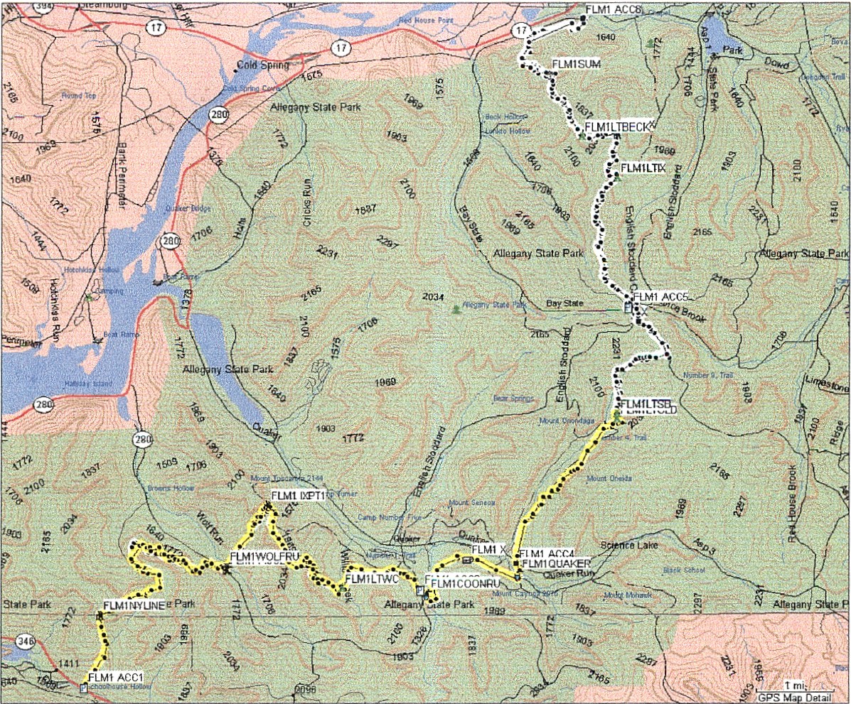
August 3 I hiked the remainder of Map 1, about 9+ miles each way. I hiked from the Access 8 point to the Stoney Brook Lean-to, where I turned around last time. I got to the trailhead, just off I-86 exit 19 (Old route 17, the Southern Tier Expressway) about 10:00. In my trail log I recorded the Garmin altimeter reading 1345', the ambient pressure 28.73, and normalized barometer 30.17", while the Suunto altimeter reading was set to 1340' with a barometer reading of 29.25". I still don't understand the difference in these readings. It was sunny, partly cloudy and warm. I left the van at 10:12. In the field crossed before entering the woods for good, I flushed out a big hen turkey. As soon as I got into the woods, a very large deer. Then I started up. The two climbs in the first 2 miles was a killer. Partway up the mountain, and halfway through a patch of stinging nettles, I changed my shorts for a pair of long pants. Then my legs stopped burning and I went on. I stopped at the Beck Hollow lean-to for a little snack. There is a log there, with a photo history of the construction of the lean-to, and lots of log entries. Pretty good effort by the lean-to adopters. Then I went on, hiking pretty much level across the ridge between two valleys. Just south of the Access 5 point, I decided I would have time to get to Stoney Brook Lean-To and hike back to the van. I decided to cache my backpack, except for the water filter. I could fill my bottles at the lean-to - having been there before I knew there was a spring behind the lean-to. I got there about 3, pumped the water, and headed back about 3:20. I figured I could get back to the van about 7, which I did. Here is a map of what I've hiked so far:
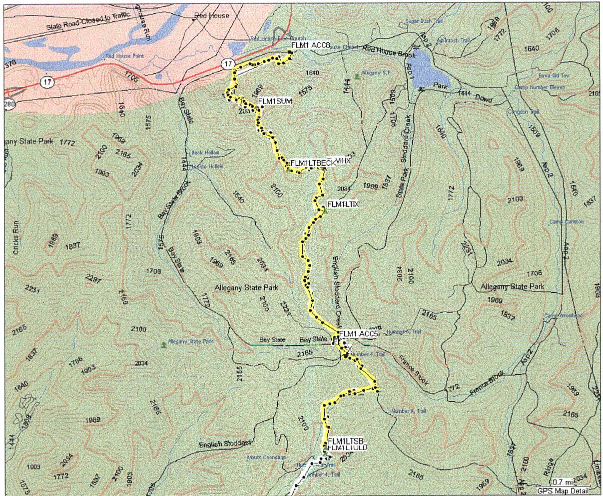
And here is a map of the section I hiked this time.
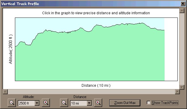
Minimum elevation 1355', maximum 2289'. Here is the track profile in elevation:
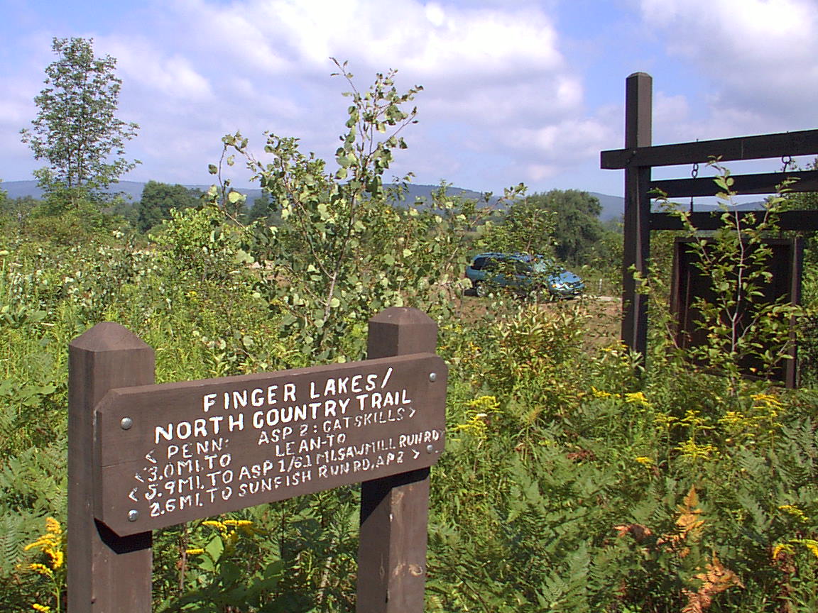
And here are some photos I took along the way: At the trailhead:
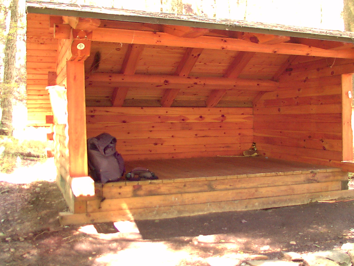
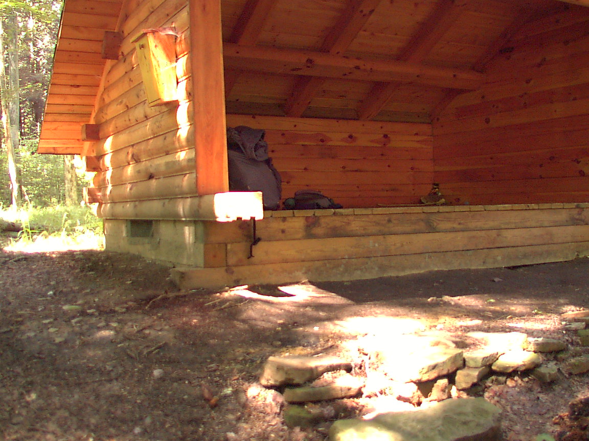
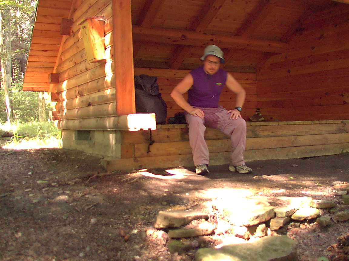
At the Beck Hollow Lean-To, on the way in:
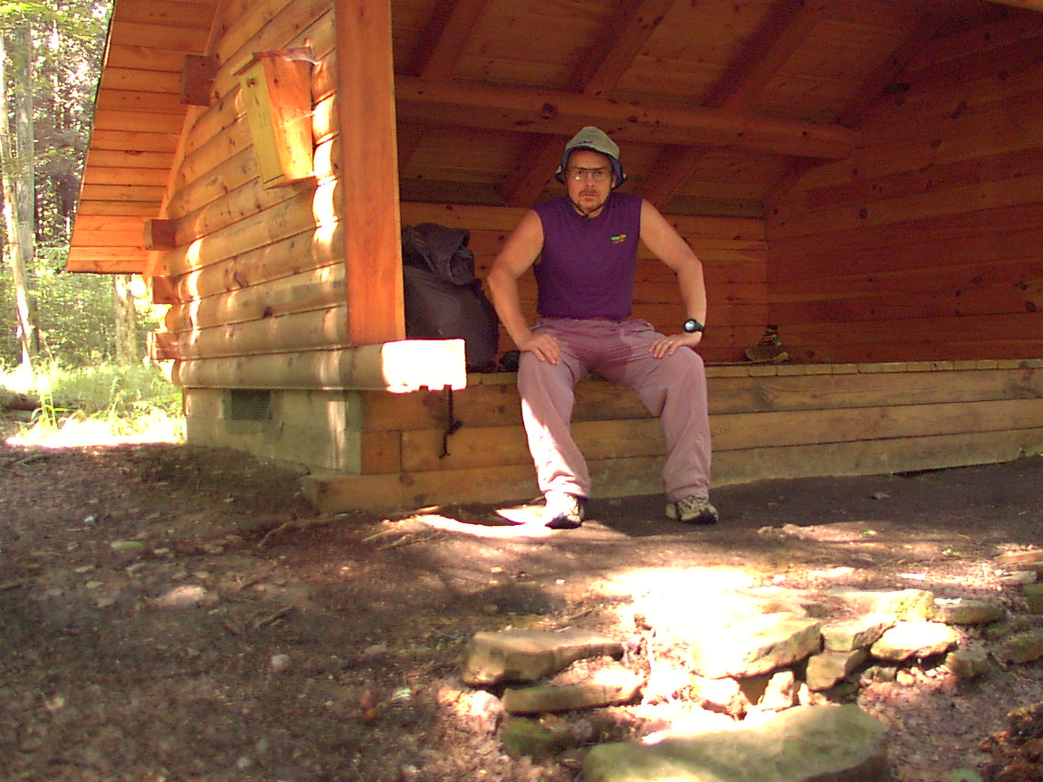
No I didn't have an accident, just sweating hard from the climb in...
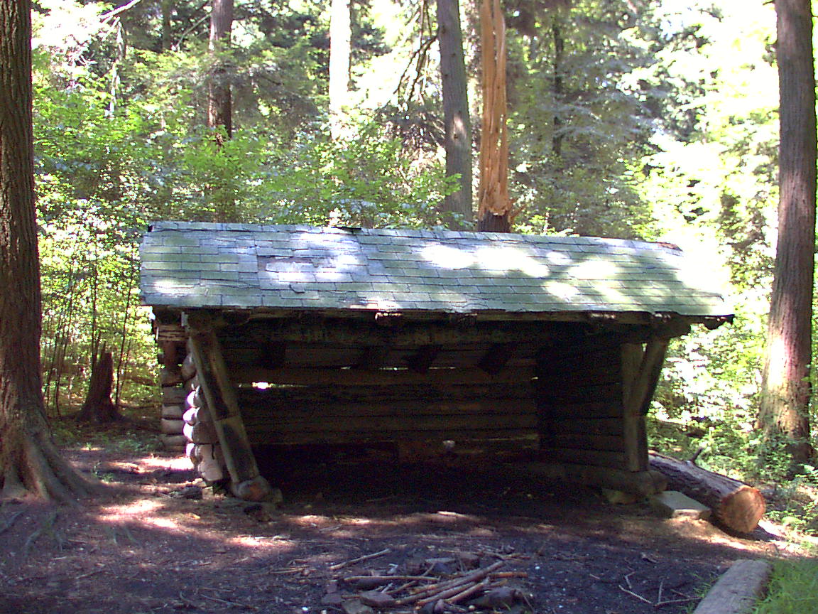
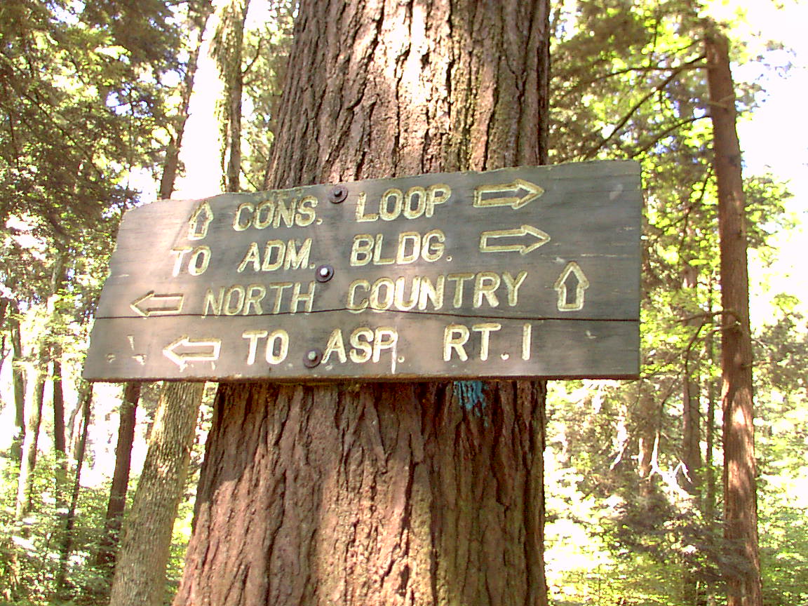
An old lean-to at the conservation loop intersection
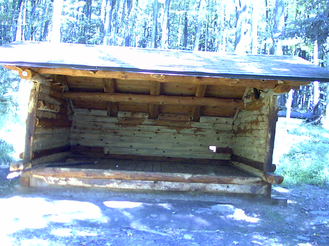
At the Stoney Brook Lean-to - see how porcupines have eaten the coating off the logs, and eaten a hole in the back. Lean-to full of droppings also.
|
|
|