
|
|
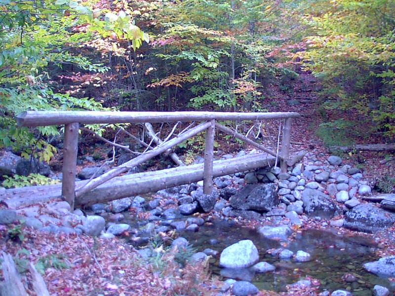
This is the very pretty bridge marked as 001 on the map. Someone took the time to decorate it with some branches that look almost like huge antlers.
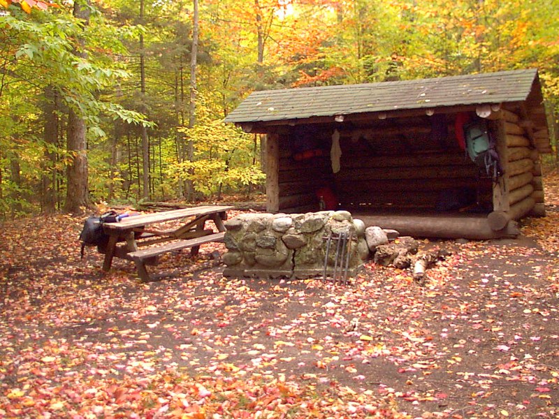
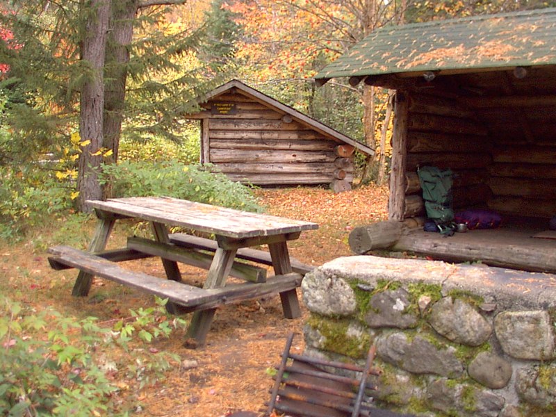
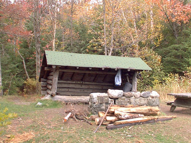
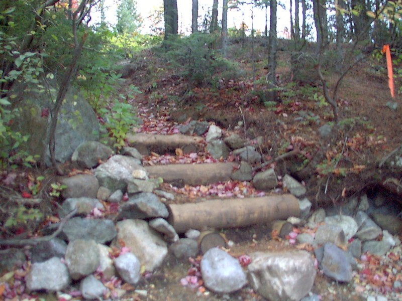
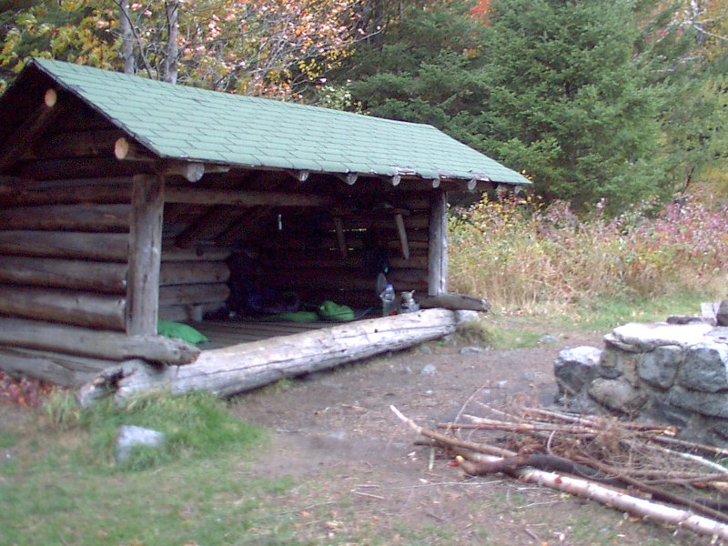
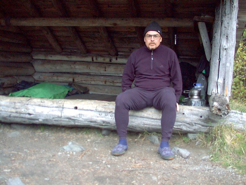
Blueberry Lean-To:
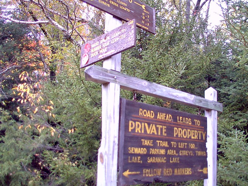
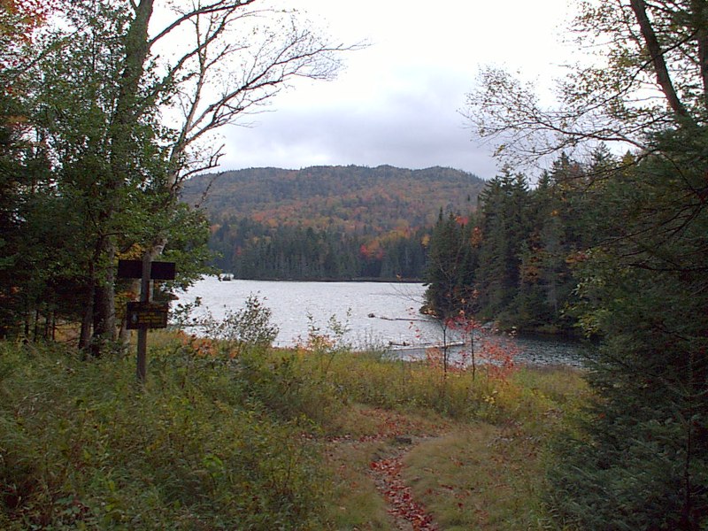
Signposts at the junction with the Ward Brook Truck Trail:
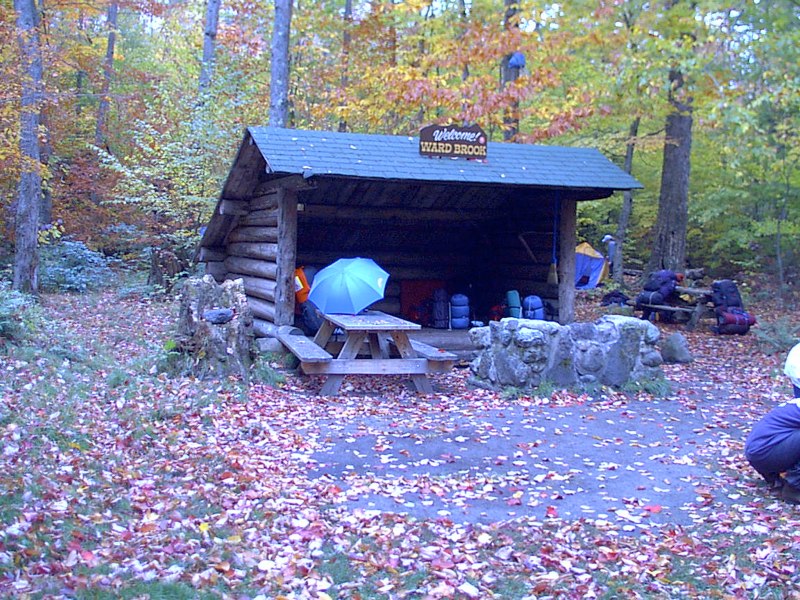
My umbrella at the Ward Brook Lean-To:
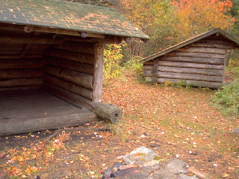
The lean-to "pair":
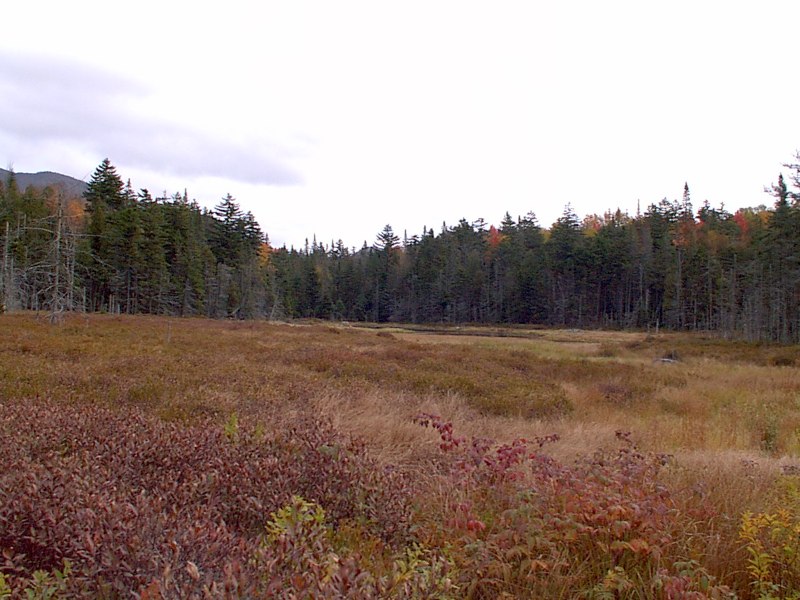
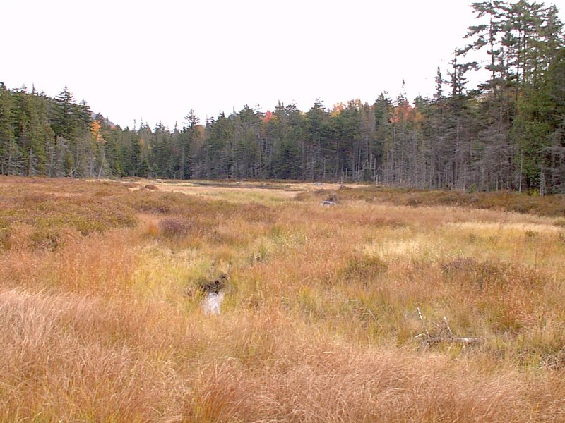
The "alpine meadow" where I met the bear on my way out. These photos are on my way in:
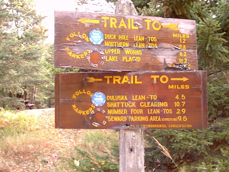
At the intersection with the Northville-Lake Placid Trail:
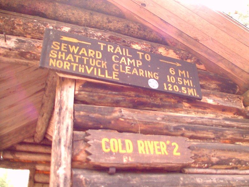
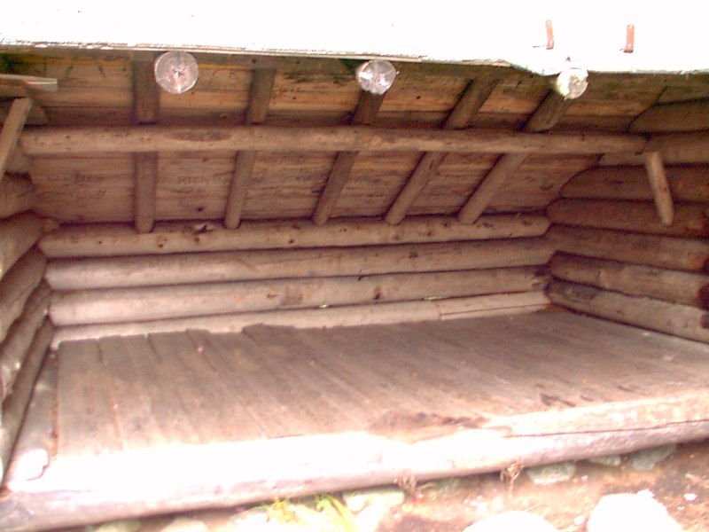
Cold River #2 and #1 lean-tos:
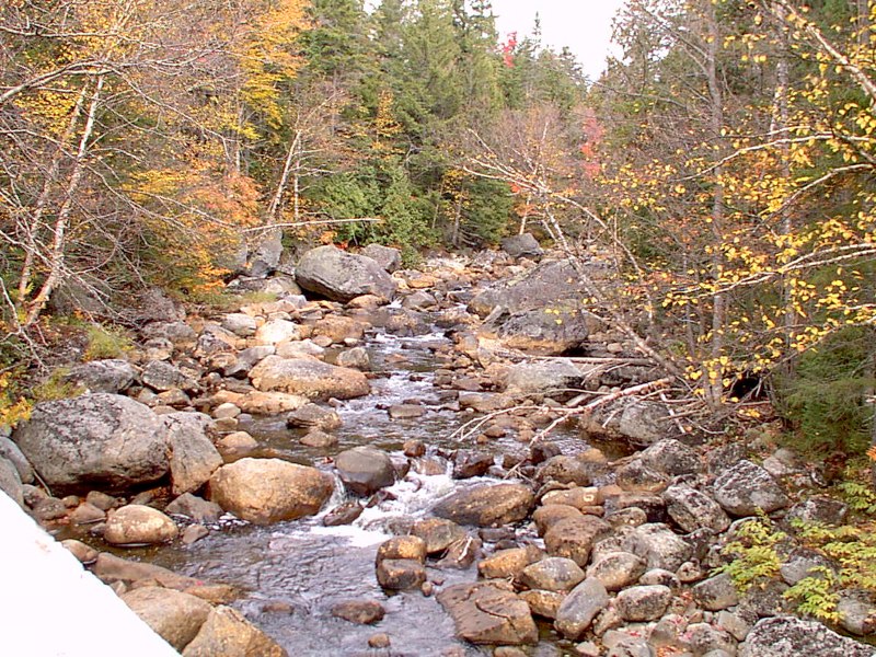
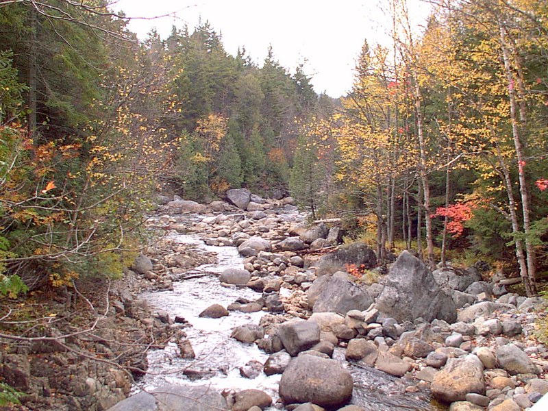
Moose Creek from the bridge, up and down river:
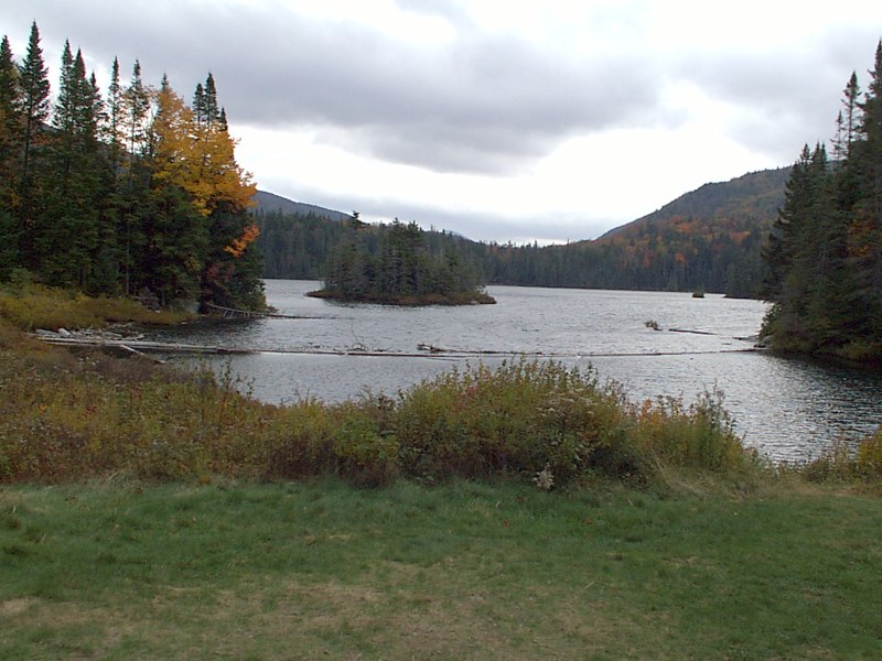
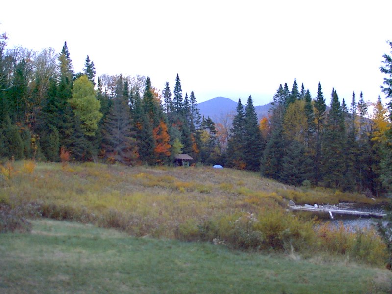
Duck Hole:
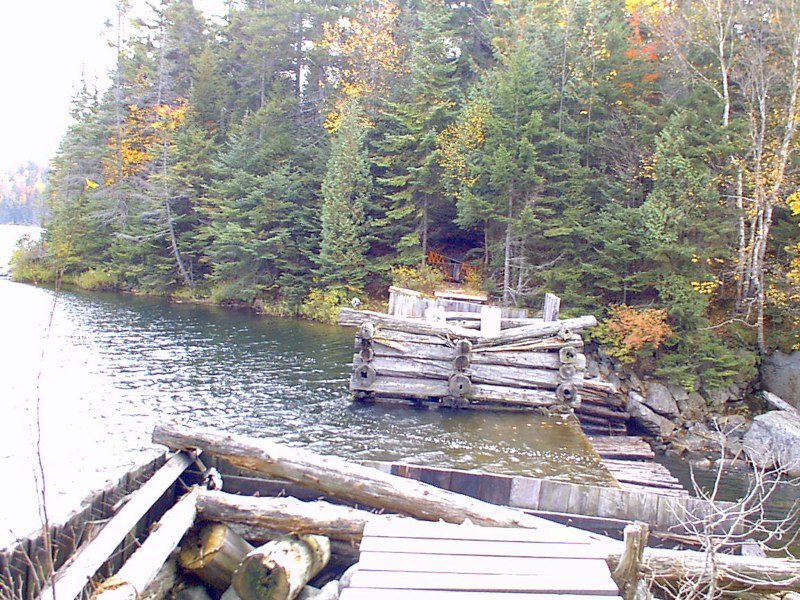
The missing bridge:
Loaded for bear:
|
|
|