0329 Photos
Up

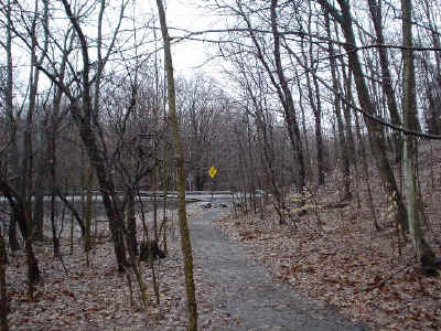
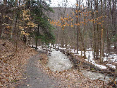
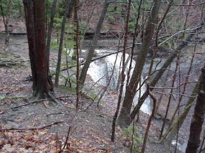
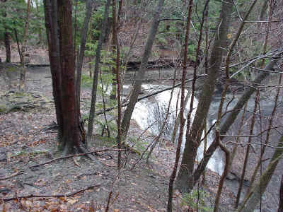
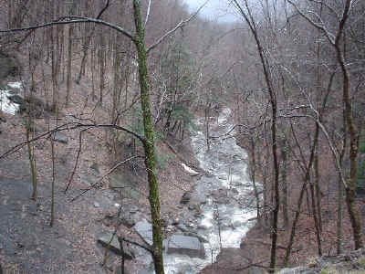
Here the creek is really running fast near Route 91.

DSC00107.JPG (98002 bytes)   DSC00108.JPG (108911 bytes)  DSC00109.JPG (115068 bytes)

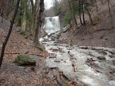
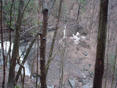
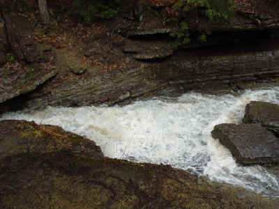
At the base of Tinkers Falls

DSC00110.JPG (98503 bytes)  DSC00111.JPG (109435 bytes)  DSC00112.JPG (99226 bytes)

DSC00113.JPG (111475 bytes)

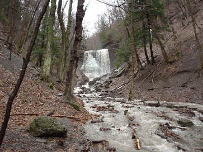
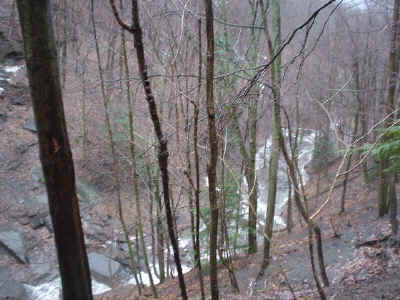
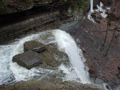
From above the falls

DSC00114.JPG (84022 bytes)  DSC00115.JPG (99733 bytes)  DSC00116.JPG (109129 bytes)

DSC00117.JPG (114838 bytes)  DSC00118.JPG (115817 bytes)  DSC00119.JPG (111488 bytes)

DSC00120.JPG (100751 bytes)  DSC00121.JPG (132781 bytes) 

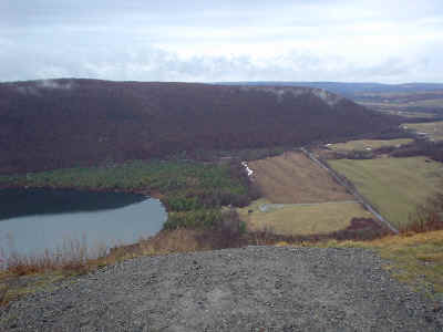
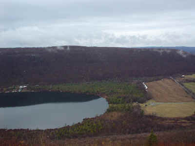
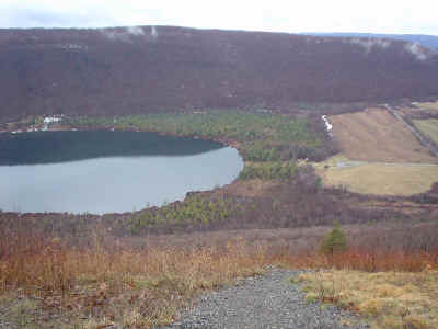
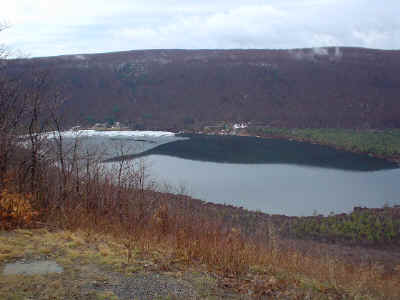
Labrador Unique Area

 DSC00122.JPG (89929 bytes)  DSC00123.JPG (93162 bytes)

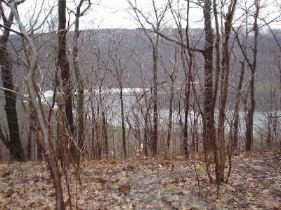
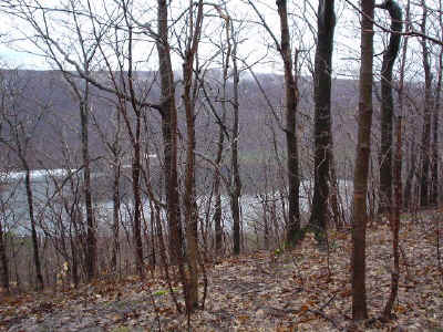
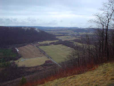
Starting at the back edge of the clearing, heading for the liftoff point...

DSC00124.JPG (97511 bytes)  DSC00125.JPG (89752 bytes)  DSC00126.JPG (93912 bytes)

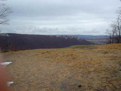
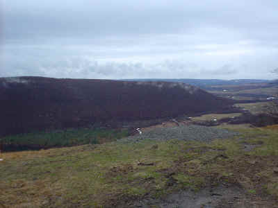
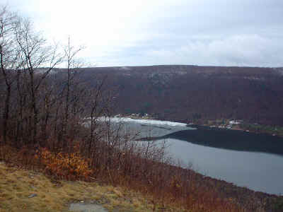
Ready for takeoff!!!

DSC00127.JPG (74333 bytes)  DSC00128.JPG (99662 bytes)  DSC00129.JPG (96313 bytes)

DSC00130.JPG (94778 bytes)  DSC00131.JPG (91231 bytes)

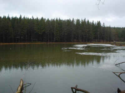
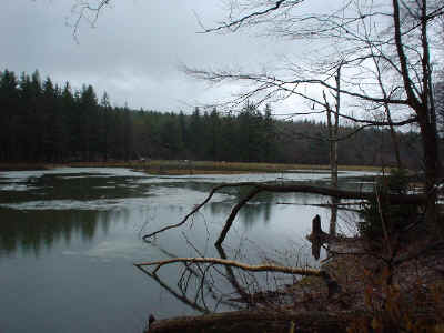
Photos near man-made Spruce Pond

DSC00132.JPG (77168 bytes)  DSC00133.JPG (89858 bytes)

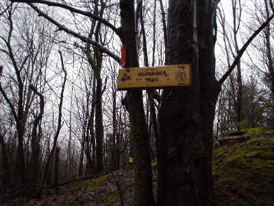
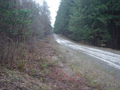
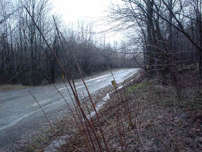
Photos at Herlihy Road

DSC00134.JPG (82538 bytes)  DSC00135.JPG (116835 bytes)  DSC00135.JPG (116835 bytes)

DSC00136.JPG (116157 bytes)  DSC00137.JPG (99380 bytes)

Maps

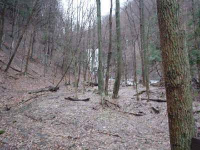
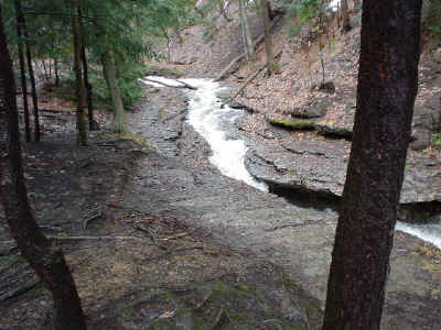
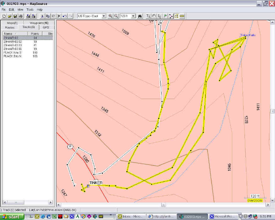
My monkeying around at the beginning, going to the base of the falls, and then finding the road up to the top.

wpe11.jpg (130041 bytes).

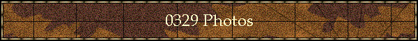
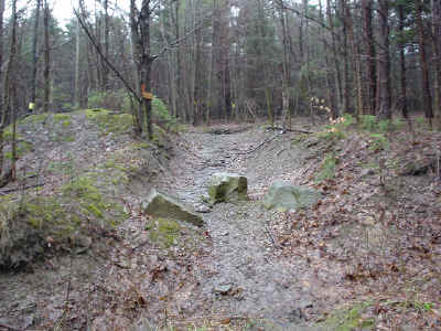
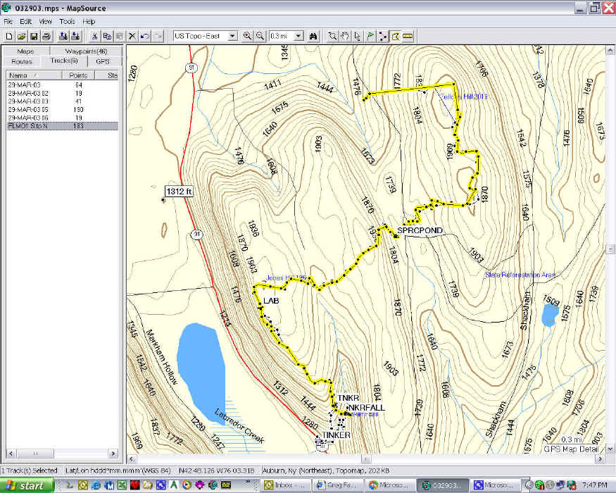
This is the trail the entire way from Tinkers Falls to Herlihy Road.

wpeF.jpg (239404 bytes)

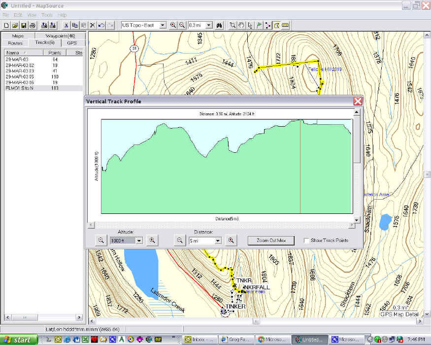
And this shows the elevation changes.  Route 91 is to the left, about 1300 feet.

wpe1.jpg (192199 bytes)

horizontal rule

Copyright (c) 1997-2002  Gazelle Software, Syracuse, NY  All Rights Reserved.   Page Last Changed 10/16/16 16:54
 

horizontal rule

Copyright (c) 1953-2016 Gazelle Software, Earth,  All Rights Reserved.   Page Last Changed 09/23/16 04:30