|
|
|
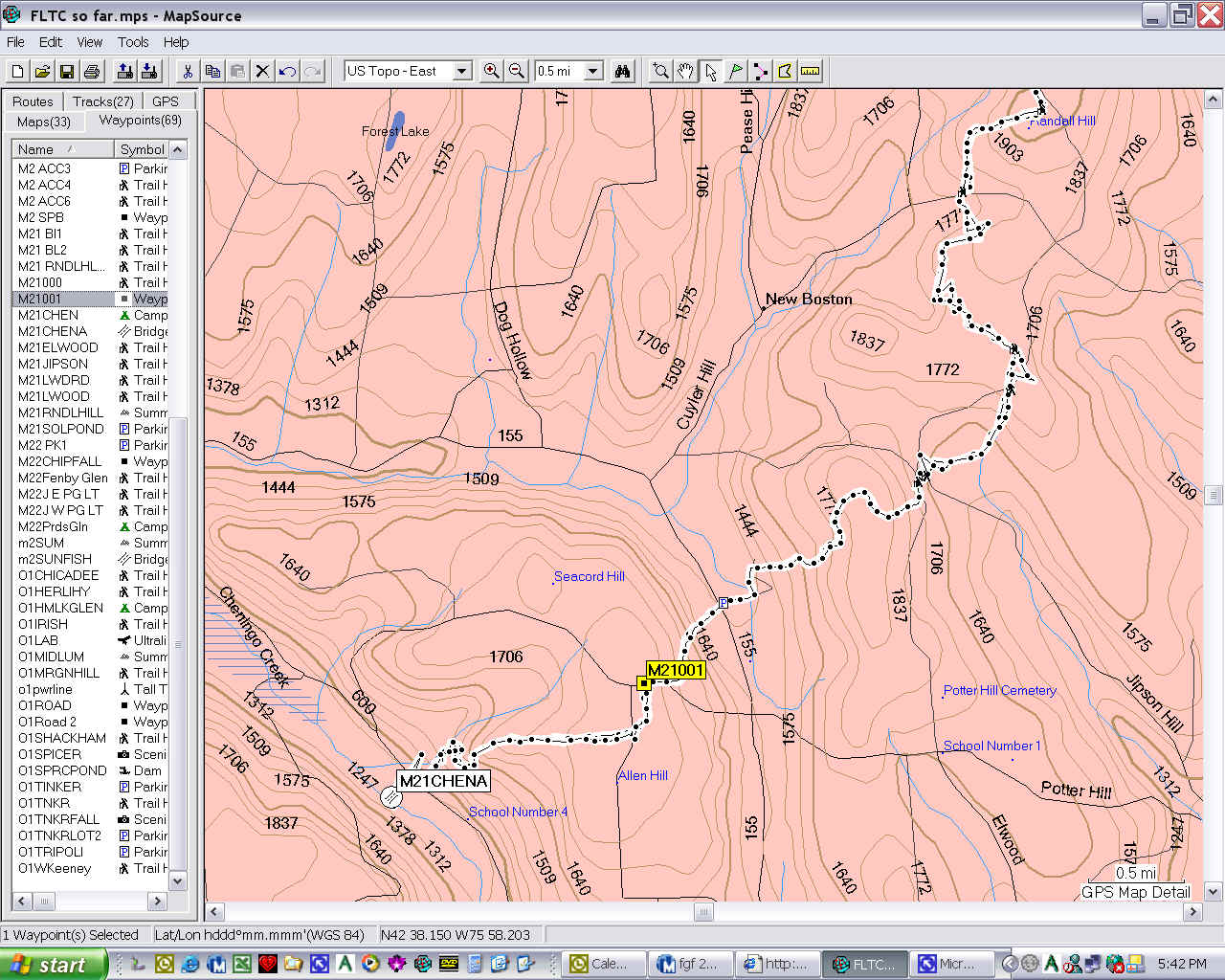
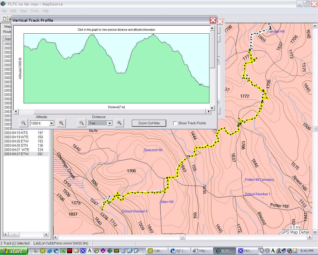
Sunday, a day hike on the FLT. I started where I turned around last Saturday, at Randall Hill Road, and hiked West.
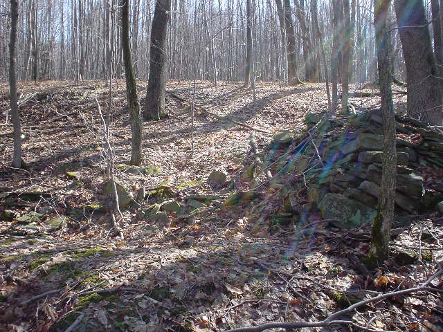
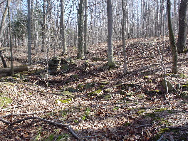
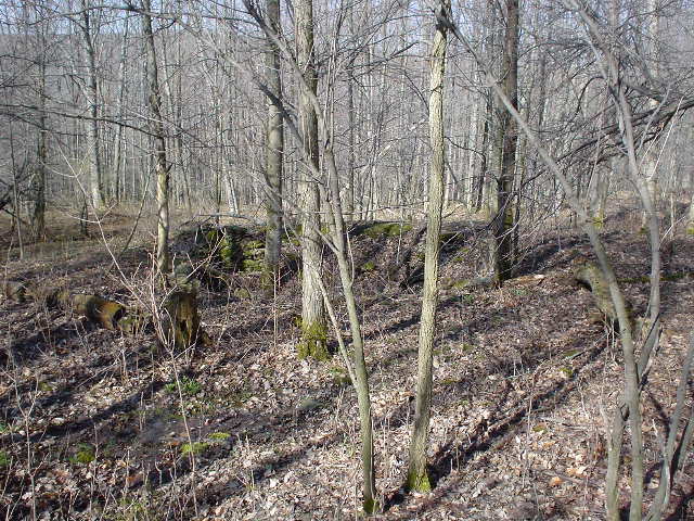
I left the car parked on Randall Hill Road a quarter mile above the trail at about 8 and started hiking. Soon I took off my vest, climbing up out of the Wiltsey Glen bivouac area and up past the trail to Elwood Road. Then across Elwood Road, then Jipson Hill Road, then Elwood Road again. The trail was kind of wet, and I followed the ruts of mountain bikes, which tracks were probably left yesterday. They looked fresh. Then I dropped down out of state land and through a very wet area to come out on Solon Pond Road. Crossing that road, the trail goes up steeply across private land. No more bike tracks here. I was hiking along trying to pay particular attention to Leave No Trace, and walk in the trail, not around it at wet spots. I was wondering if the mountain bikes were supposed to be using the foot trail, eroding it and leaving tracks. But I wasn't sure. Old foundations:
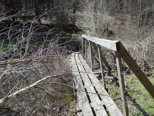
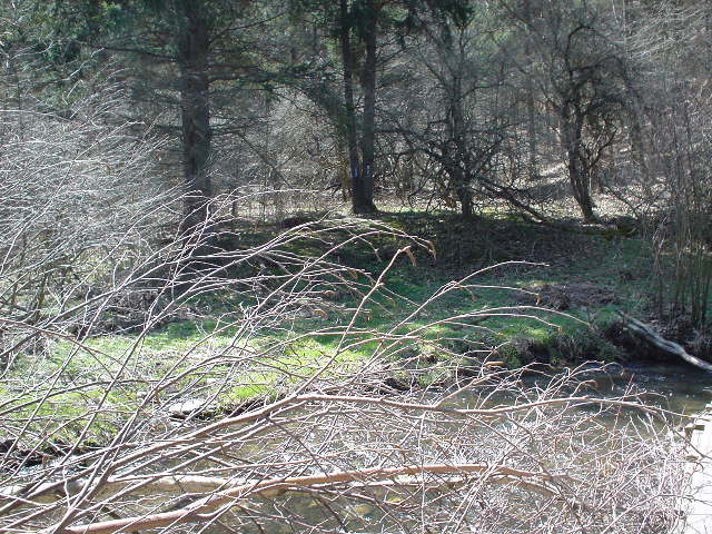
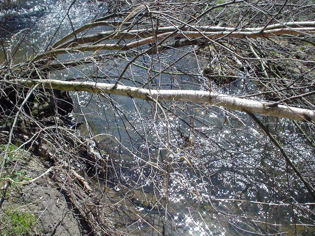
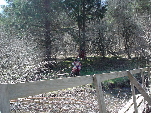
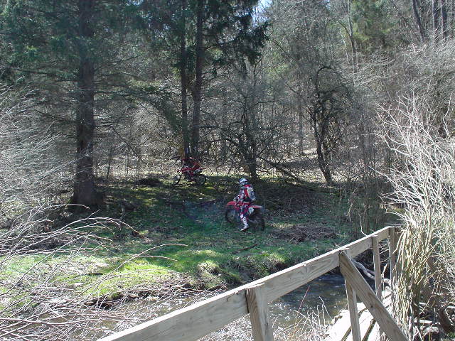
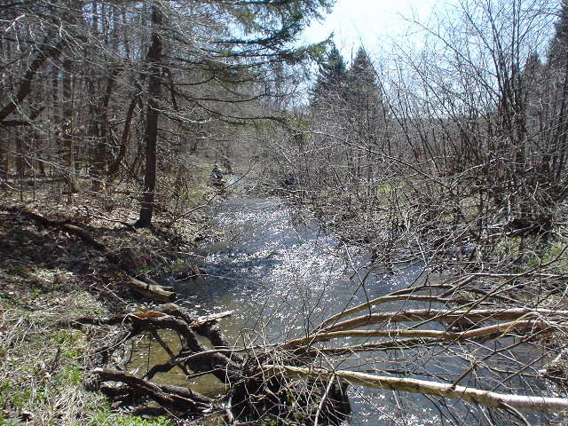
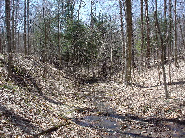
Now back into state land, turning past the Allen Hill summit, and then dropping down steep switchbacks into the Cheningo Day Use Area. There is a pavilion there, but vandals have burned one of the two picnic tables in it. Across the Taylor Valley Road to the other side, and down the driveway to the Chenango Creek. I was planning to hike up the other side of the valley to Hill Top Pond, another 2 miles. But the bridge across the Chenango Creek had been pushed downstream by high water, and I could not get across. A woman hiking in the area said she had tried to find a crossing up stream with no luck. I decided maybe I should turn around, hike back and call it a day. I was about 3 hours moving time since leaving the car. But I had stopped to change socks and remove a shirt, about 10:15, just this side of Solon Pond Road. As I was standing on the end of the bridge, at the edge of the deep, fast-running water, 4 motocross bikes zoomed in and stopped, looking at me. They looked for a place to cross, and they did, about 20 yards upstream from me. One after the other. They waited on my side and 2 more bikes drove up. One of the first group took off his helmet and came over to point to the new 2 where to cross. Then they all took off. While I changed GPS batteries a 7th rider came along and followed the first 6. I couldn't believe it, but they drove right up the steps in the day use area, across the trail, past the "No Motor Vehicles Beyond this Point" sign, and right up the trail. They chewed the trail up from there to the point on the map marked M21001, where they turned left on an old road, and I didn't see any more motorcycle tracks. The dysfunctional bridge over the Chenango Creek, and the high water there:
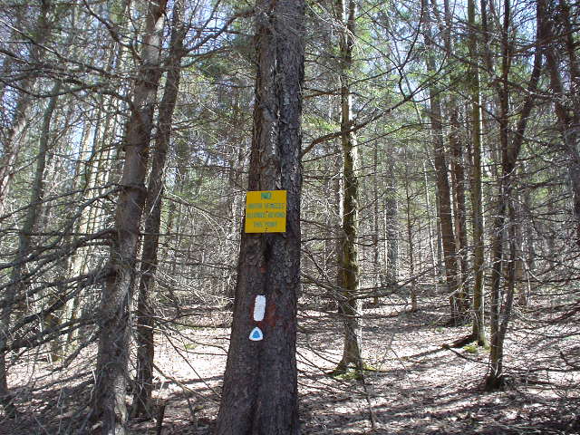
Motorcycle invasion:
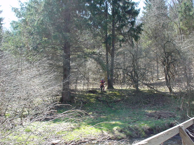
See the sign? See the trail damage?
On my way back East, just crossed the Solon Pond Road:
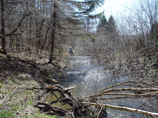
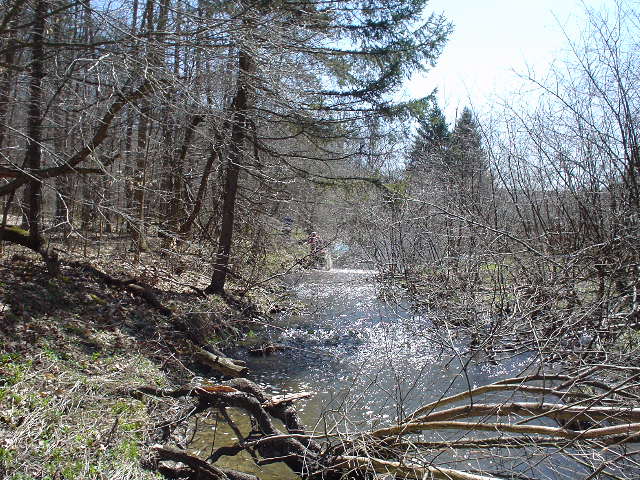
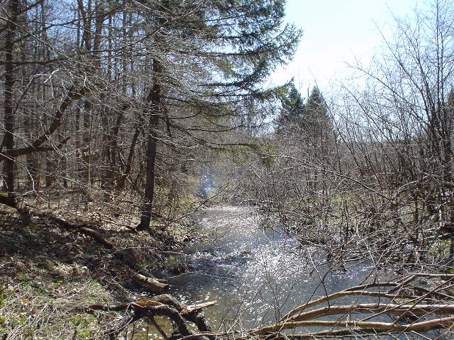
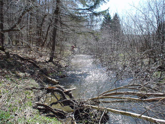
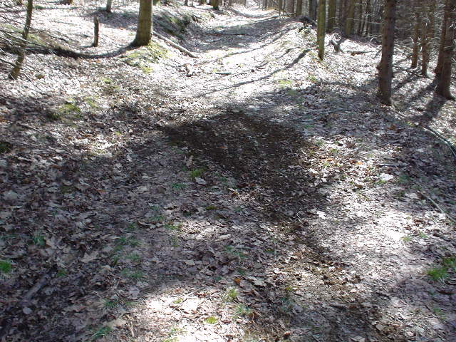
A nice place on the trail:
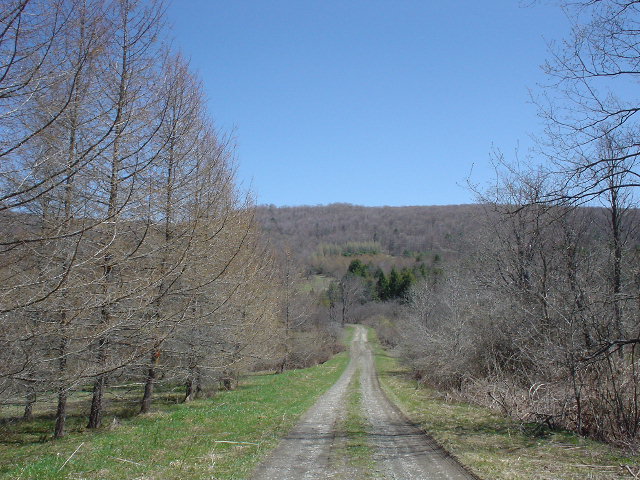
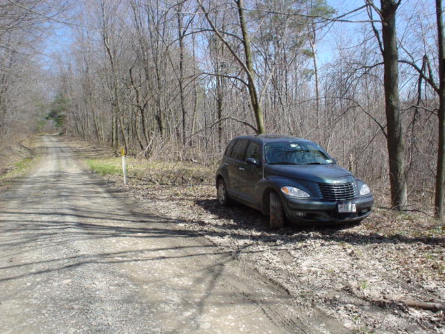
Back to the car:
|
|
|