
|
|
|
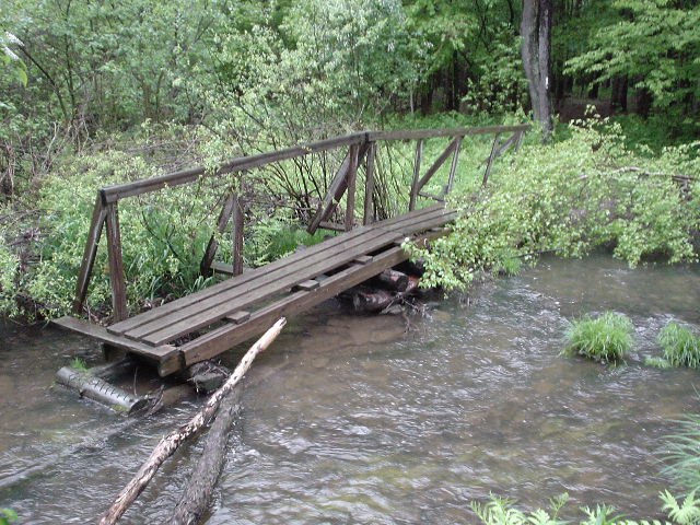
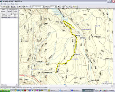
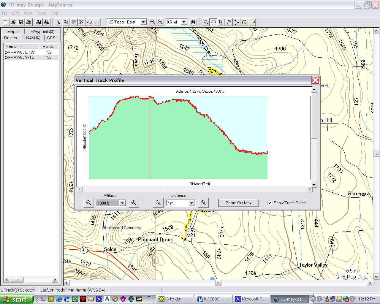
Saturday, a day hike on the FLT. I started on Telephone Road, near Solon, at the 0.0 mile point of Map 21 and hiked to where I turned around April 27. It was 52° and raining, and I got there about 5 a.m. I took my time putting on rain suit and boots, synching up the GPS and deciding how much stuff to take. Settled for the waist pack and a power gel. The first two hours were very pleasant, no steep uphills and even though it was raining, it was nice walking. It was just barely dawning when I started, and pretty gloomy, but peaceful and quiet. I decided it was a good day to learn about hiking in the rain. I kind of planned to finish map 21 and then hike West on map 22 as far as I could and still get back in daylight. I checked the trail register at the top of Mt. Roderick, and guess who was there a few days ago? Mike Douglass "a great day for trail work." Wants everyone to know he's working on the trail, although he didn't actually say he was. That guy is everywhere. But the trail was in pretty good shape. Once over the top you go through some private land, and then pass Hill Top Pond. The map says it's a nice place for lunch. It was a smelly, stagnant place if you ask me - I couldn't eat there. Anyway, north of it you break out onto the dirt road that you are paralleling most of the way, and walk that road down to about creek level. Then back through the woods upstream along the Chenango Creek to the bridge. The bridge is still out, see below.
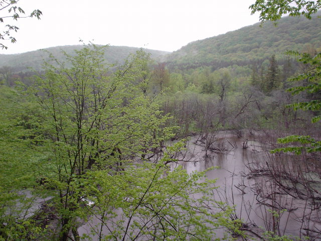
About 1/4 mile downstream from the bridge, the creek is very wide:
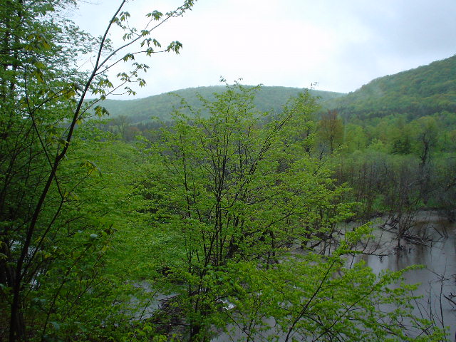
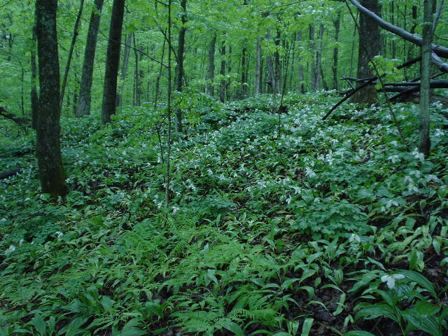
Looking SW across Taylor Valley. And the Trillium are in bloom:
On the way back to the car, I decided I was wet and cold enough to stop. My boots were squishing and I thought about changing socks, but that would take 20 minutes to do, and last 20 seconds, and the dry socks would be wet from the insides of the boots. So what did I learn? Next time I'll plan better. If I had taken a complete extra set of hiking clothes, including shirt, pants and boots, instead of just extra socks, I could have hiked longer. If I had eaten something before hiking for 5 hours, I wouldn't have felt as tired and maybe would have gone on. Next time I'll think about it first. I was back to the car before 10, and home about 11. I hiked about 11 miles, and was moving for 3 hours 40 minutes. Here are the maps and elevation plot.
|
|
|