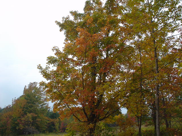
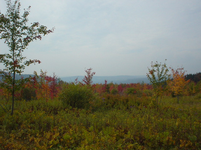
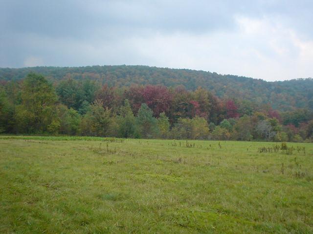
I parked and started hiking today from Stage Road, which is the 0.8 mile point of Map M23. First I hiked back West to where I left off August 29, near the 21.2 mile point of Map M22. Of course, I was on M23 when I parked. This was a very hilly walk, as the profiles below show. It was mid to upper 60s and very humid. I saw several pheasants and a couple of deer. The leaves are just starting to change, and I got a few colorful snapshots:
This concludes Map M22 in both directions and starts M23. It sprinkled a little but not enough to wet anything under the canopy. I didn't see another soul while I was hiking. I hiked a little over 4 hours, and a little over 9 miles.

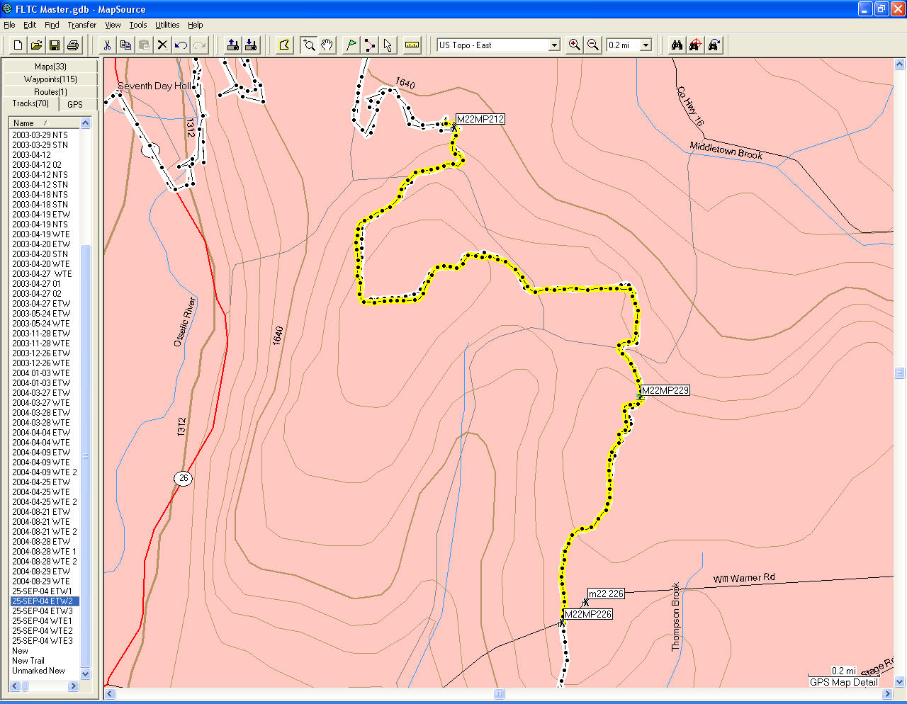
Today's hike, from M22MP212 to M23MP019.
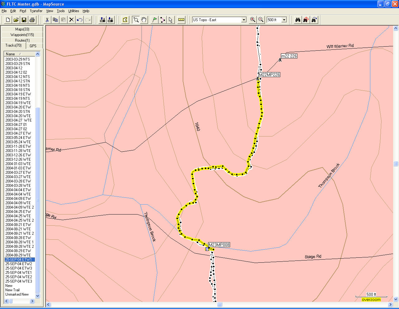
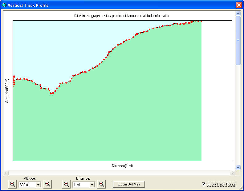
From the car back West to the border between Maps M22 and M23, and the profile.
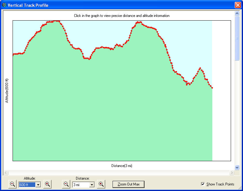
From the end of M22 back to where I left of at mile point 21.2, and the profile.
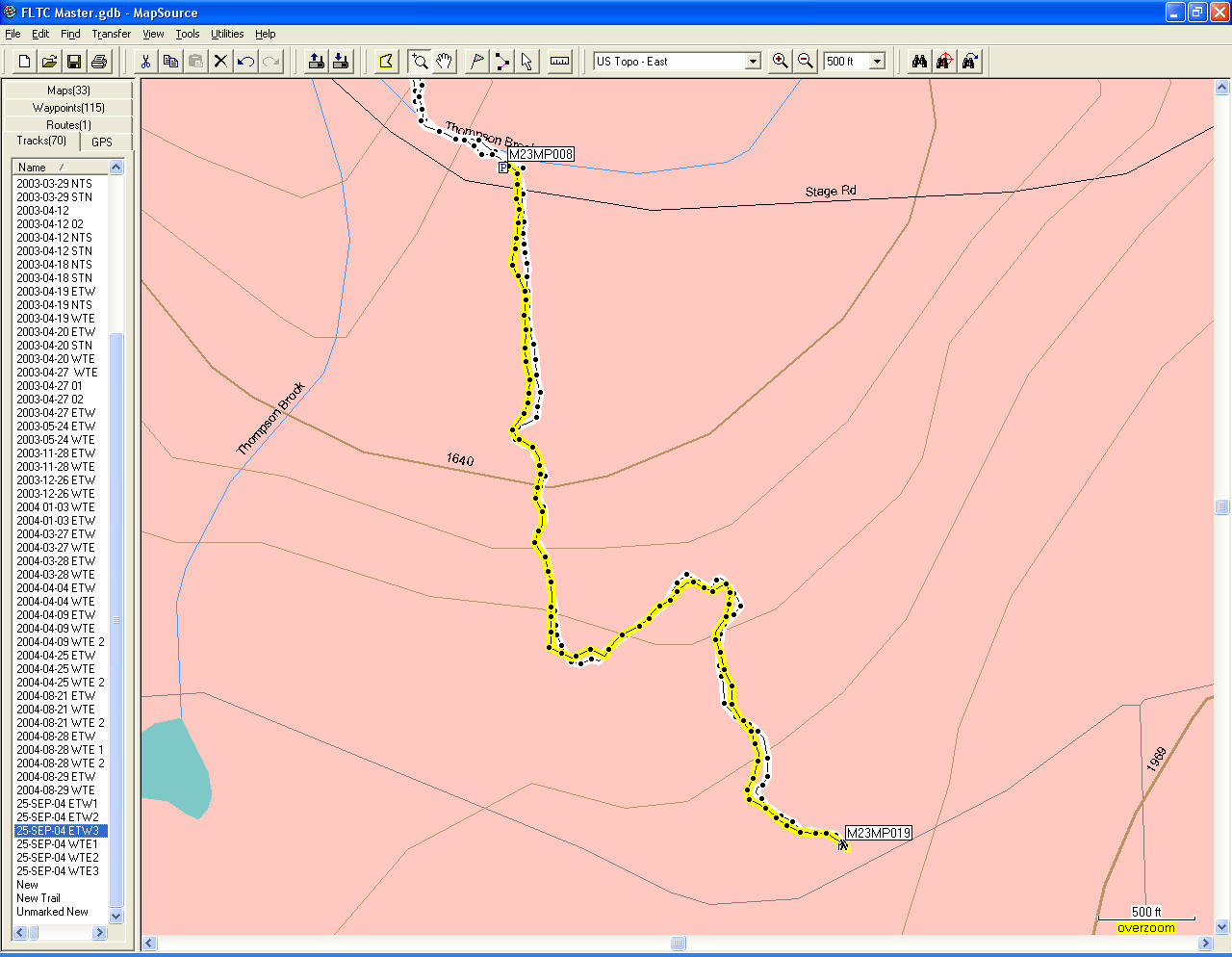
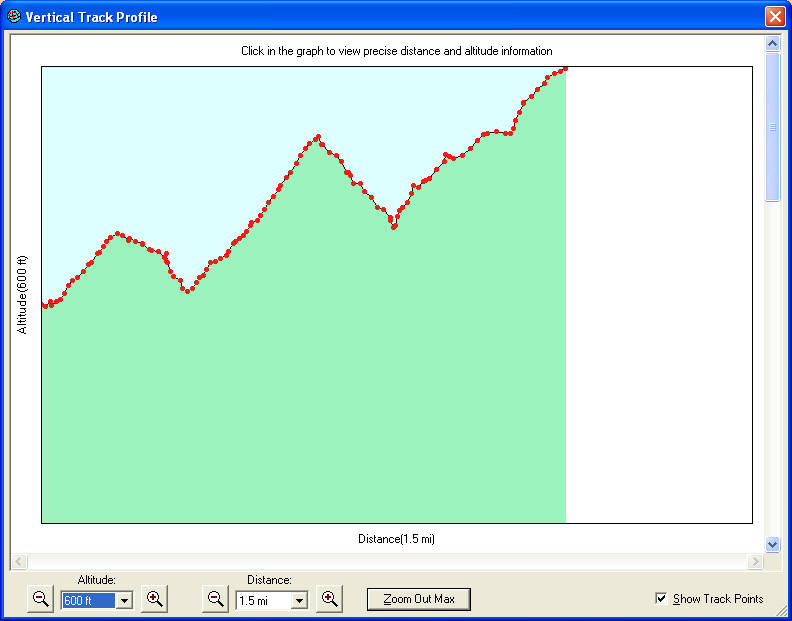
And then, on with Map M23, up to Church Hill Road at mile point 1.19, and it's profile.
And from the Polar S625X:
