I started today where I left off heading West at mile point 0 of map 19, NY38 and Purvis Road, starting map 18 at mile point 25.8. I hiked to the gas pipeline at mile point 21.2 and turned around there. On the way I climbed up to the microwave tower shown below and marked on the map.
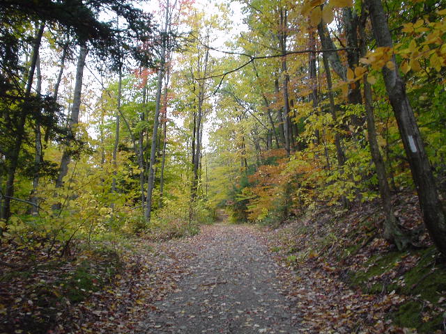
It was a nice cool day for walking. With my shell off, my arms were pretty cool, but I didn't perspire much, so it was just about perfect. It was very cloudy but it didn't rain. I met a few people walking their dogs (unleashed) in the state forest portion of the hike.
Driving: I81 South to Marathon. West on CR221 to Harford, then north (right) on 38 to Purvis Road.
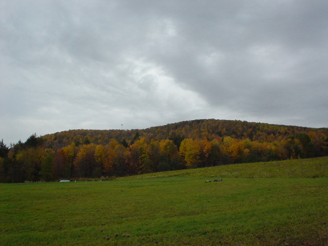
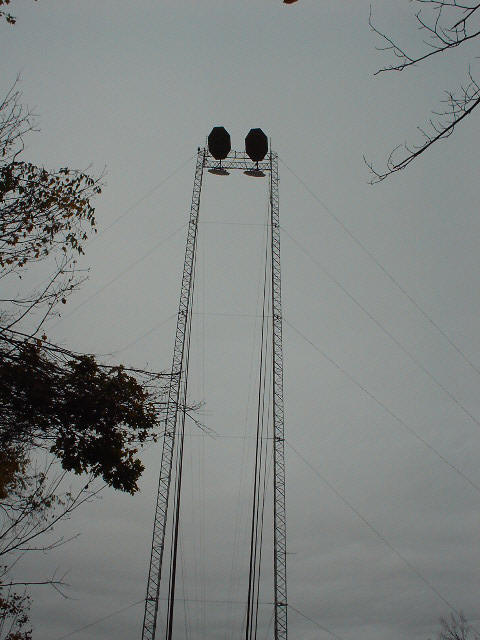
Starting out down near NY 38, the microwave tower is just visible above the horizon on the left. Then from the base of it.
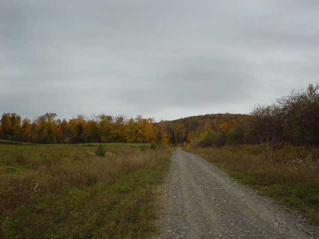
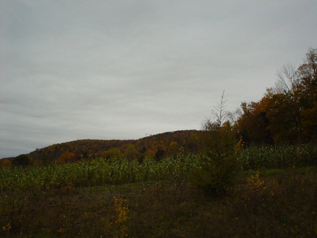
I think colors are about peak in this area today. This is the road hike up to the ridge the tower is on.

After climbing down from the top, the tower is visible above the tree line. And my hear rate curve.

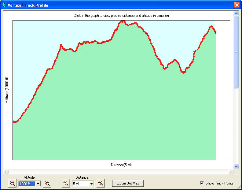
Map and elevation profile.