|
|
|
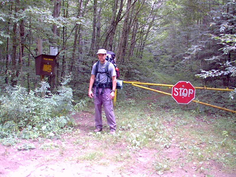
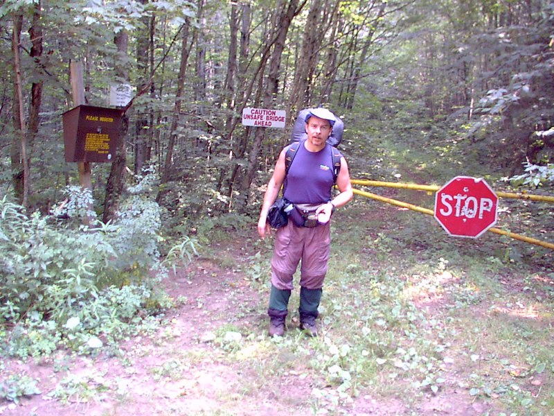
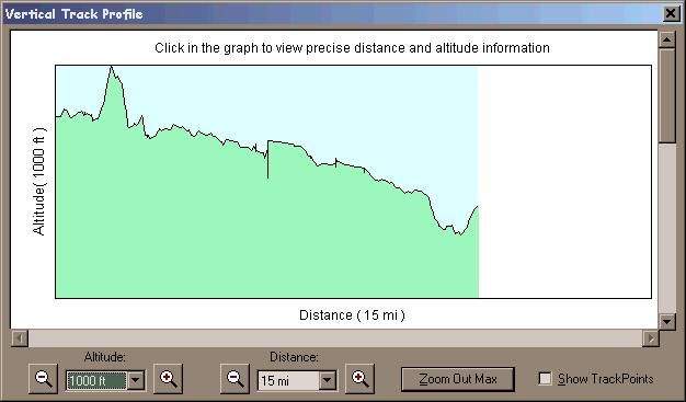
Tuesday we hiked a tough 10.6 miles in under 4 fours.
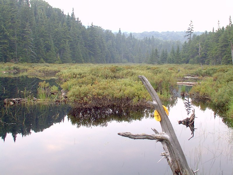
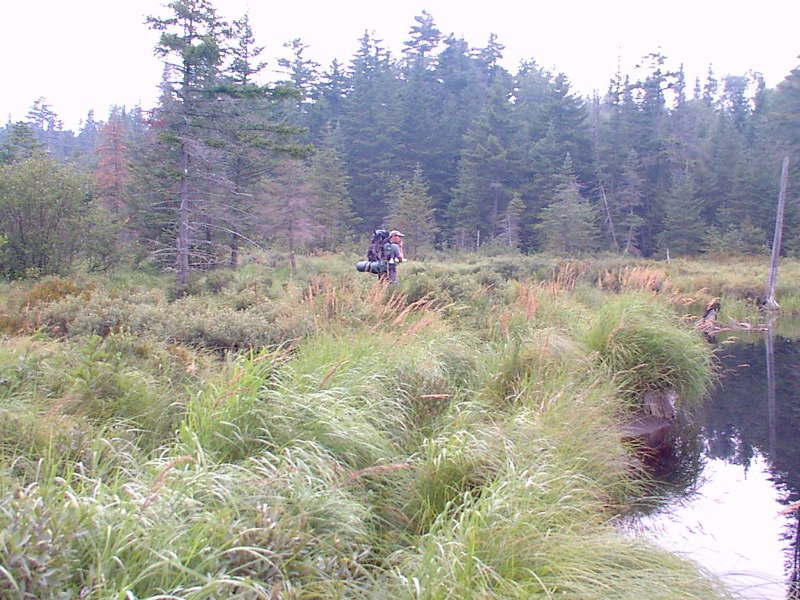
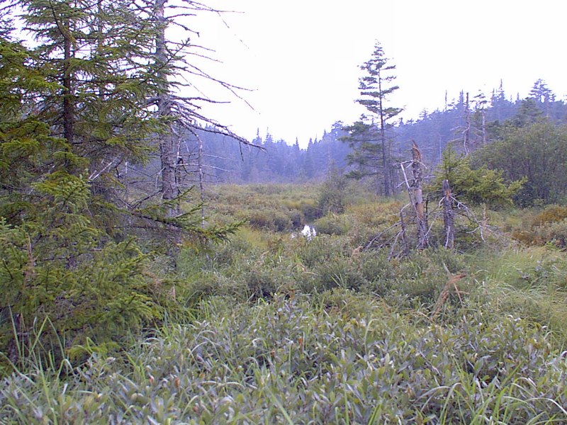
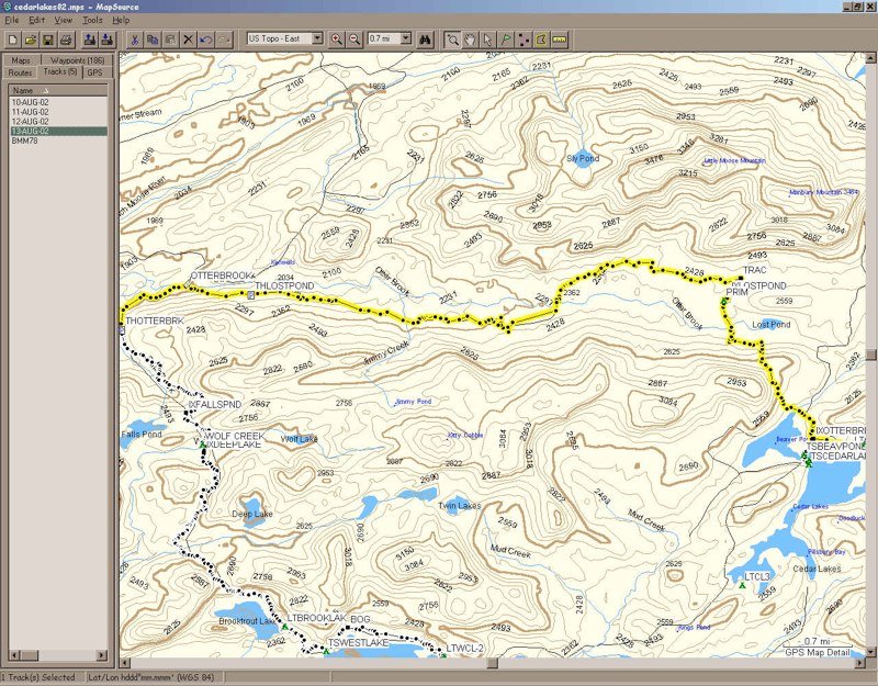
We both slept really great and rose pretty early. After oatmeal and coffee we were ready to go and took off to find the trail. Hiking up to Lost Pond we climbed a pretty big ridge, and of course back down the other side. Last year there had been a man who said he tried to find Lost Pond but thought he missed the side trail to it. As we hiked along we could see Lost Pond, and thought we had missed the side trail to it. After a while longer though, we found the intersection. Then we crossed over a beaver bog created by damming the Otter Brook, which rises near Lost Pond.
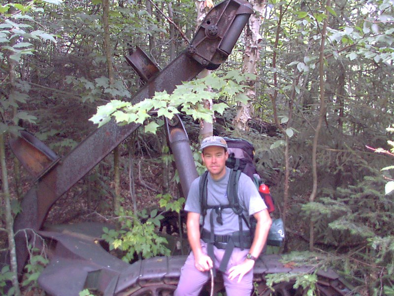
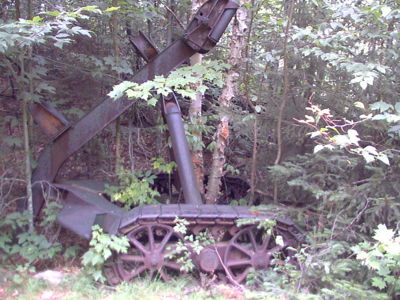
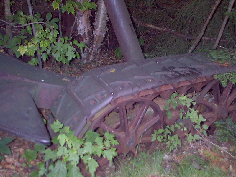
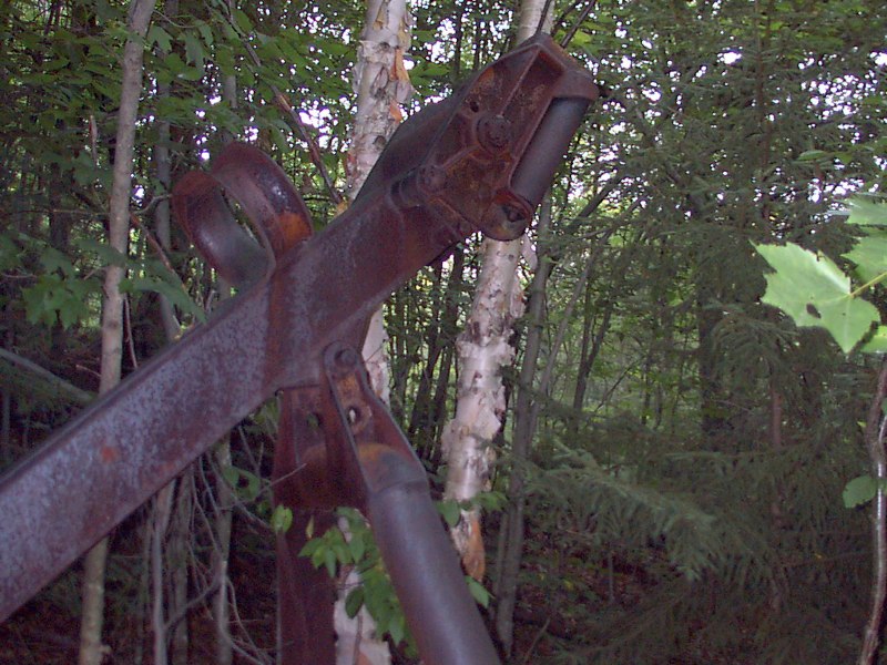
Bob found an old piece of equipment in the woods. I think it was some kind of log skidder.
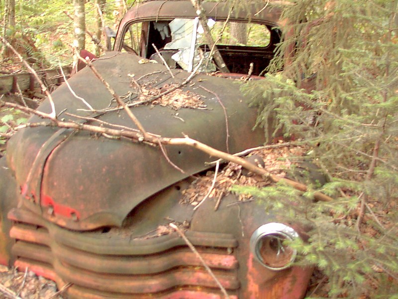
Another place along the old road to Otter Brook bridge there was a large area of abandoned equipment and belongings, like a junk pile scattered over an acre or more, including this old truck.
We were hot when we got done - a long, fast hike.
We stopped at Mickey D's on the way home to gorge on junk food. There was very little traffic this Tuesday afternoon. |
|
|
 elevation profile - 1000'
scale
elevation profile - 1000'
scale